Analysis of the Technical System and Management Application of Groundwater Monitoring Stations
Release time:2025-09-10
Visits:1528
As a key barrier for water resource security, groundwater monitoring stations provide scientific evidence for environmental governance and ecological protection through the real - time collection and analysis of dynamic data such as water level and water quality. The continuous optimization of the current technical system and management mechanism has significantly improved the accuracy and coverage of groundwater monitoring, and its functional value has been verified in multiple fields.
I. Construction of a Full - scale Monitoring System
China's
groundwater monitoring network has formed a multi - level coverage system, enabling dynamic tracking in important ecologically vulnerable areas, water conservation areas, and densely populated areas. The national monitoring project has deployed tens of thousands of automatic monitoring stations and expanded the site layout using machine - dug and civilian wells. The monitoring scope has extended to 7.4 million square kilometers, filling the gaps in areas such as the Qinghai - Tibet Plateau and arid desert regions. In response to seasonal changes, localities have taken measures such as special monitoring during the wet season, quarterly spot checks, and spring equipment calibration to ensure data reliability. For example, a petrochemical park strengthened groundwater sampling and analysis during the wet season to accurately identify the pollution migration pattern; multiple provinces adopted a quarterly spot - check mechanism combined with the operation and maintenance of automated equipment to ensure continuous monitoring.
II. Upgrading of Intelligent Technical Equipment
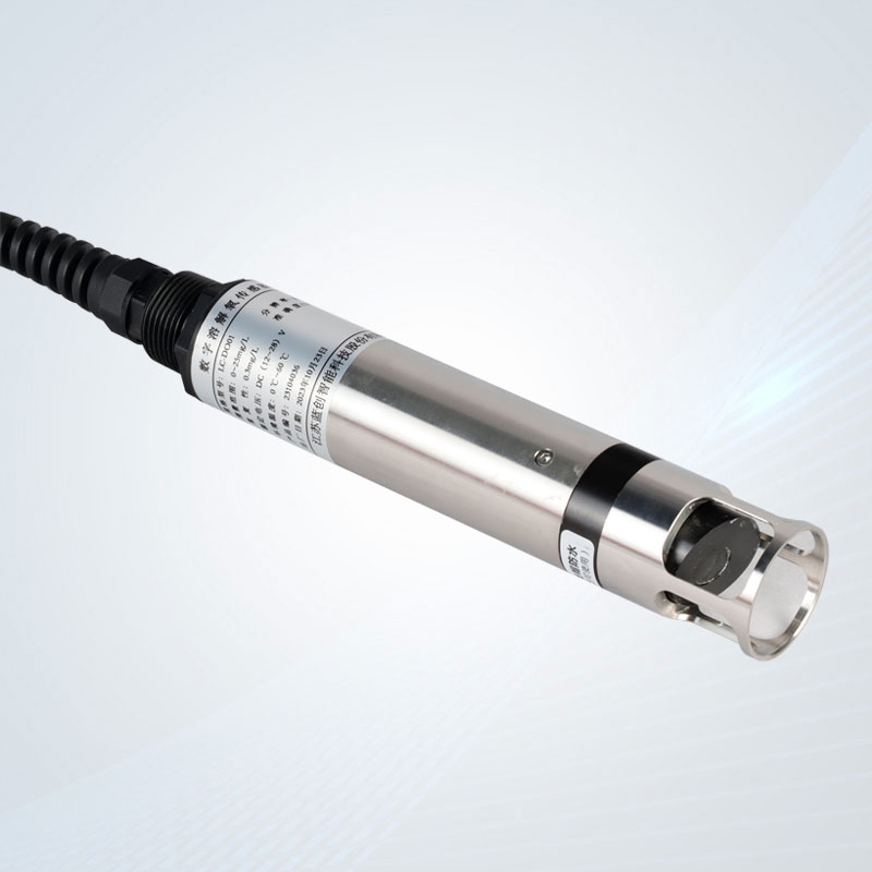
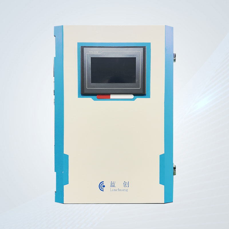
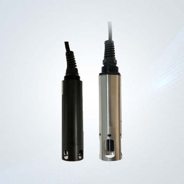
Water level monitoring equipment uses pressure sensors and Internet of Things (IoT) transmission technology to achieve real - time collection of down - hole data. Typical equipment operates on the principle of hydrostatic pressure. When the water level changes, the sensor automatically calculates the water depth and generates a warning signal. Such equipment has both corrosion resistance and low power consumption characteristics and can be adapted to complex scenarios such as rivers, mines, and urban drainage systems. In terms of data application, the monitoring system has achieved seamless connection with GIS platforms and meteorological prediction models, constructing a multi - dimensional hydrological analysis network. Some regions have solved the transmission stability problem in remote areas through 4G network upgrades, enabling the real - time data return rate to reach over 95%.
III. Innovation in Standardized Management Mechanisms
1. Standardized Operation and Maintenance: Localities have established a "one - well, one - file" database and implemented processes such as regular equipment calibration and fault troubleshooting. For example, a hydrological center carried out parameter calibration and dynamic maintenance on 364 monitoring wells, increasing data accuracy by 20%.
2. Collaborative Station Network: Through the second - phase national monitoring project, stations in areas such as agricultural water use areas and restricted - extraction areas have been integrated, and site selection has been optimized in combination with hydrogeological conditions.
3. Data Quality Control System: A multiple - verification mechanism is adopted, including automatic verification, manual spot checks, and third - party evaluation, to ensure data authority.
IV. Diversified Scenario Applications and Practices
In the field of pollution prevention and control, monitoring stations effectively track the spread of groundwater pollution in industrial areas and provide model parameters for restoration projects. For example, routine monitoring at a landfill site detected abnormal ammonia - nitrogen levels, shortening the treatment period by 30%. In terms of ecological protection, monitoring data supports wetland restoration and desertification control and helps researchers quantify the impact of groundwater on vegetation. In addition, groundwater level data has become the core basis for implementing water resource restricted - extraction policies, contributing to a 3 - 5 - meter rise in the water level in over - exploited areas.
Future Development Directions
The current monitoring system still needs to address issues such as insufficient inter - departmental collaboration and uneven distribution of monitoring density. In the next step, the focus will be on promoting the construction of an inter - departmental data sharing platform and densifying the layout of monitoring stations in ecological function areas, energy bases, and other regions. At the same time, the early - warning thresholds will be optimized through AI algorithms to improve the emergency response capacity under extreme conditions and comprehensively construct a three - dimensional supervision network for groundwater resources.